Many Polygons with geojson-vt on Leaflet
Sample of using geojson-vt generated tiles inside leaflet 0.7. It uses custom (generic) TiledCanvas L.CanvasTiles.js .
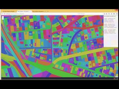
info also here
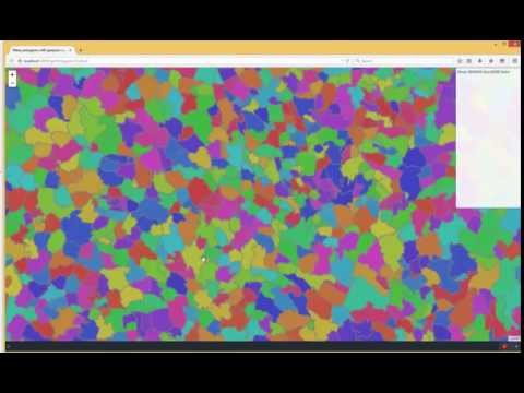
Sample of using geojson-vt generated tiles inside leaflet 0.7. It uses custom (generic) TiledCanvas L.CanvasTiles.js .
info also here
Modified http://cdn.leafletjs.com/leaflet-0.7.2/leaflet.js to a secure url
Modified http://www.sumbera.com/gist/js/vt/geojson-vt-dev.js to a secure url
Modified http://www.sumbera.com/gist/js/leaflet/canvas/L.CanvasTiles.js to a secure url
Modified http://www.sumbera.com/gist/data/CZDistricts.js to a secure url
https://cdn.leafletjs.com/leaflet-0.7.2/leaflet.js
https://www.sumbera.com/gist/js/vt/geojson-vt-dev.js
https://www.sumbera.com/gist/js/leaflet/canvas/L.CanvasTiles.js
https://www.sumbera.com/gist/data/CZDistricts.js